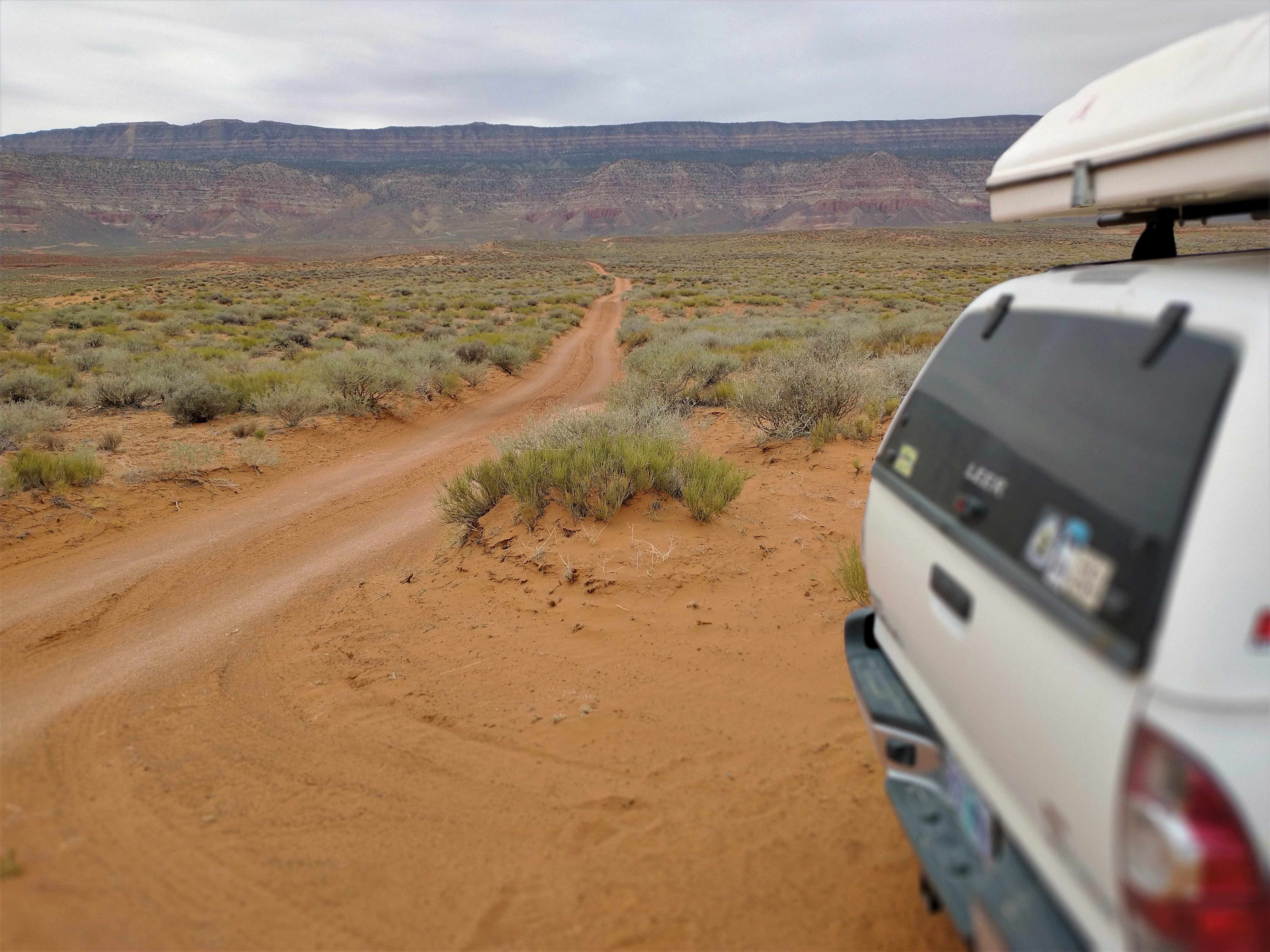
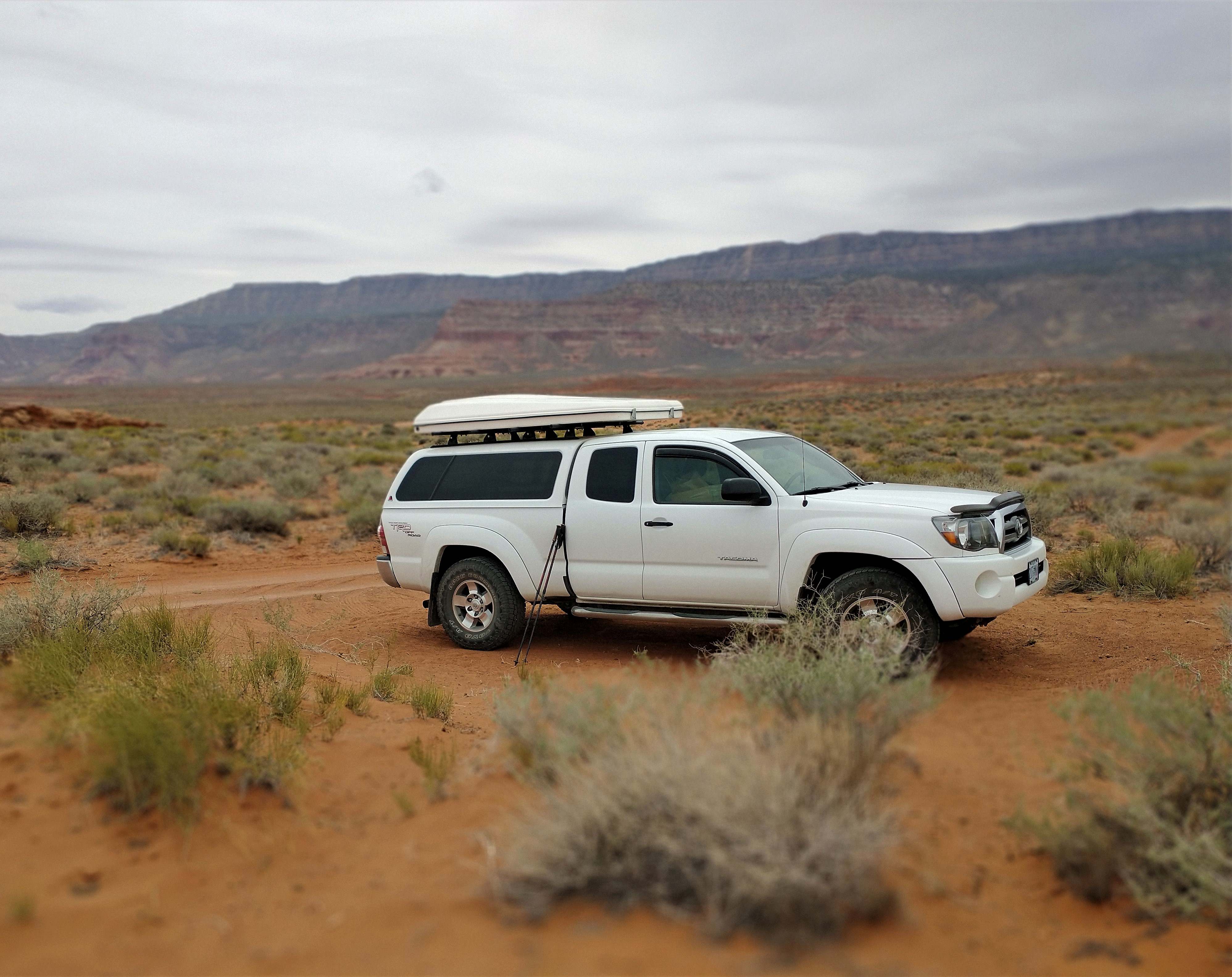
In the Spring of 2023, I traveled to SE Utah and Grand Staircase- Escalante National Monument for the express purpose of traveling the Hole-In-The-Rock road south of Escalante, UT. The road leaves scenic Utah Highway 12 and traces the torturous route originally blazed by Mormon pioneer families in 1878-1879 on their way to found a new settlement on the San Juan River. Their short lived agricultural settlement became the small, present day outpost of Bluff, UT. My ultimate goal was to find and hike from the Willow Gulch trailhead down a sandstone canyon to Broken Bow Arch which had only recently emerged from the waters of Lake Powell after the reservoir level fell dramatically following years of drought. The trailhead is near the end of Hole-In-The-Rock road, some 50+ miles of rough road from where it begins, requiring 4WD and speeds of 15~25 mph. Thanks to an early start, I reached Willow Gulch by mid-morning in time to start the descent.
by David E. Miller, first published in 1962. His book is drawn from first person diaries and Mormon archives that document the hardships suffered and incredible endurance shown by the settlers who crossed the rocky plateaus and canyons in winter, on foot and in their covered wagons.
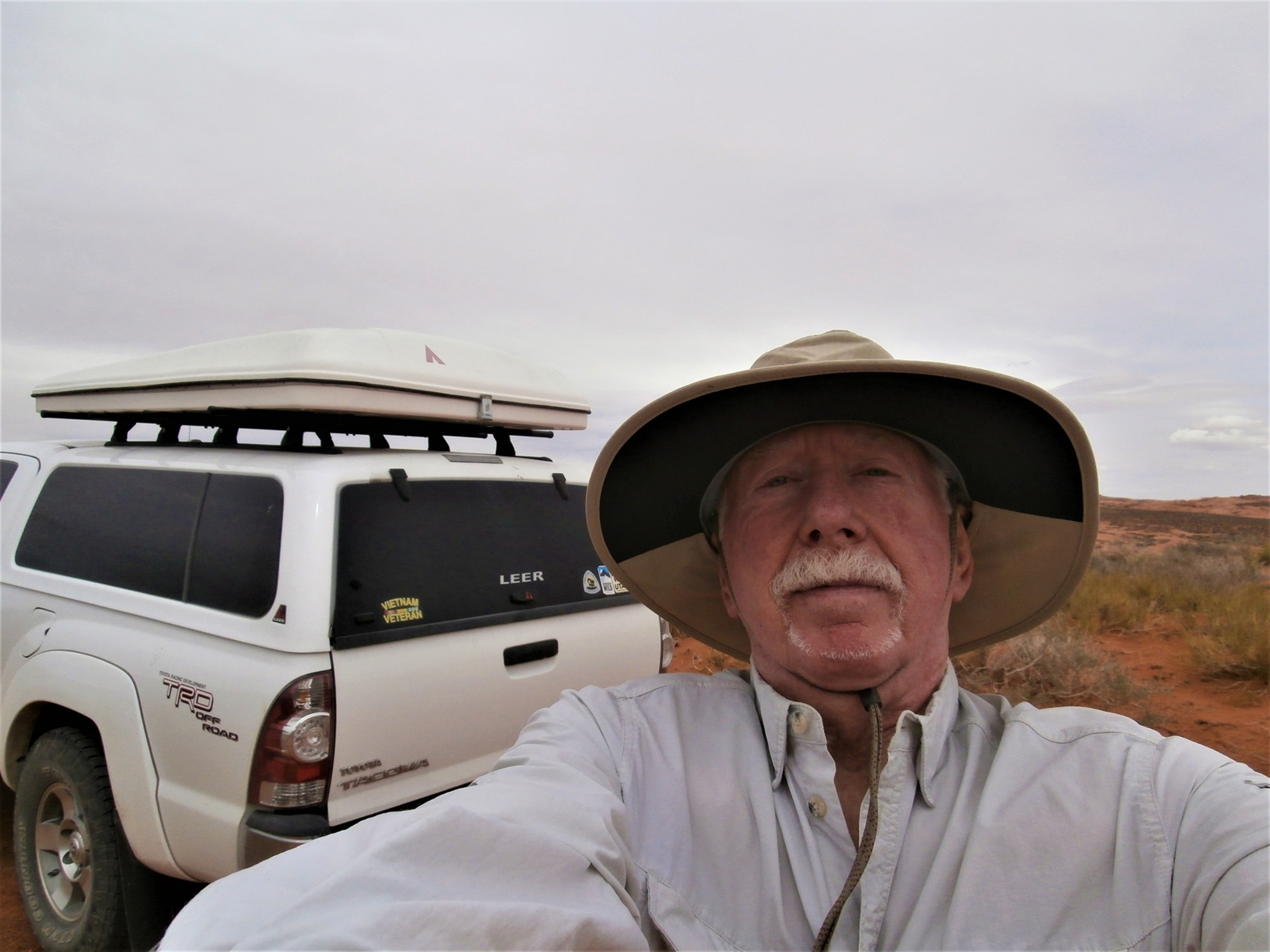
I did not realize it until today (!!) after reading Everett Ruess, A Vagabond for Beauty, edited by W. L. Rusho, but over much of the way to the trailhead I traveled the same route that Everett Ruess, a 20 year old Mormon artist, writer, explorer, and seeker of natural beauty, traveled on foot with his two burros on his way to to Davis Gulch in 1934 where he disappeared. The mystery endured until 2008 when a body discovered on nearby Comb Ridge was identified by DNA analysis as that of Ruess who had been murdered and his body buried to avoid discovery. [All photos ![]() Max Vollmer, Click on any image to enlarge]
Max Vollmer, Click on any image to enlarge]
At the start of the trail, I descended a very soft, red dirt bank to where the beginning of the gulch is a small drainage ditch. From there the natural drainage of the gulch deepens as it wends its way to the Escalante River, itself a tributary of the Colorado River.
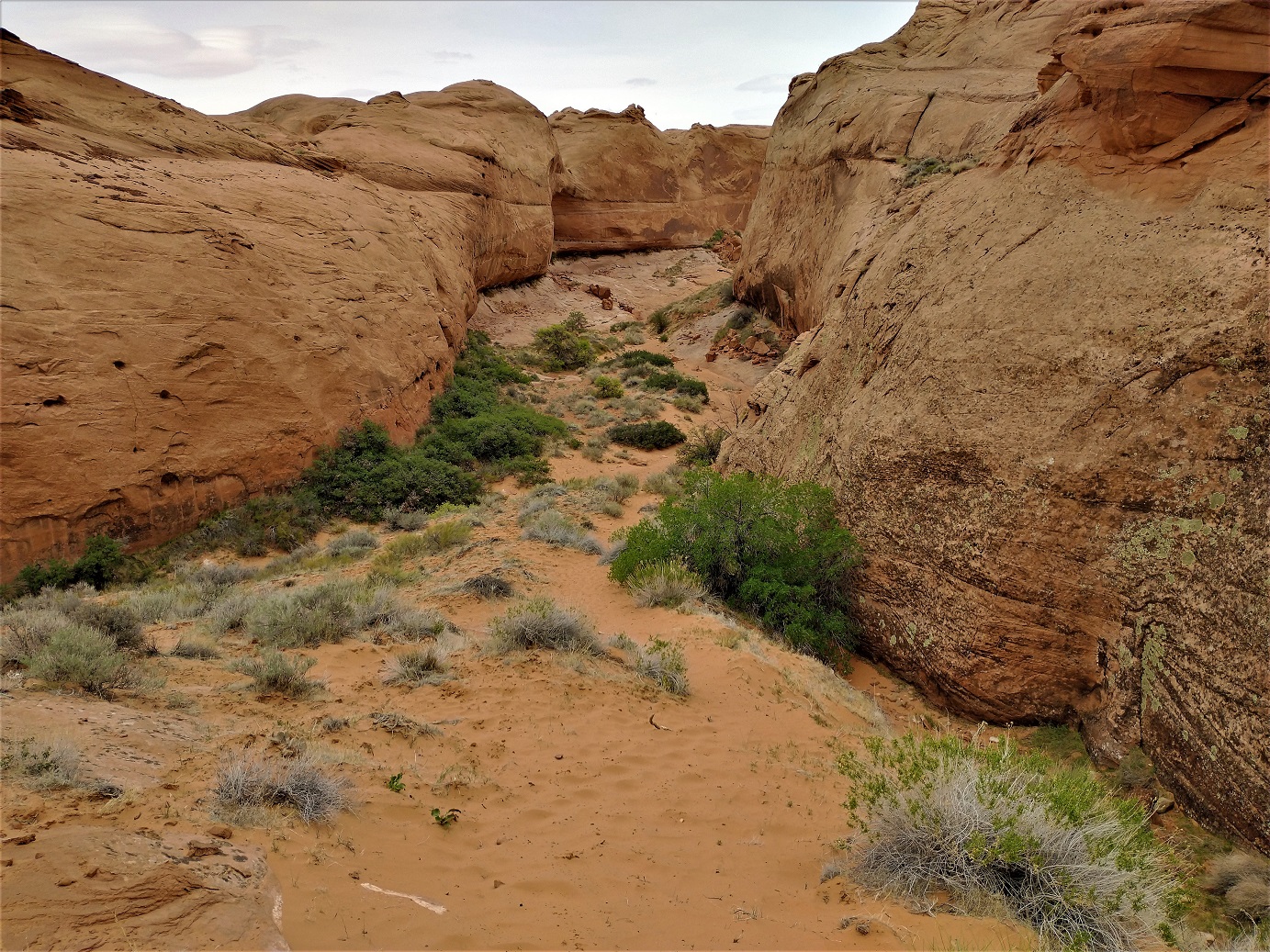
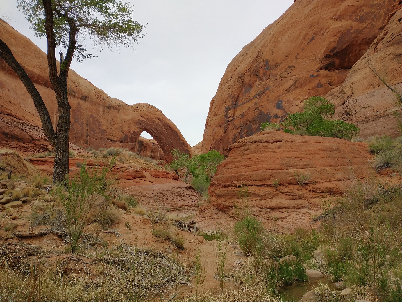
Cottonwoods find enough water in the soil to establish themselves as the stream descends toward the river. The day I hiked the trail was overcast so the red sandstone color was subdued.
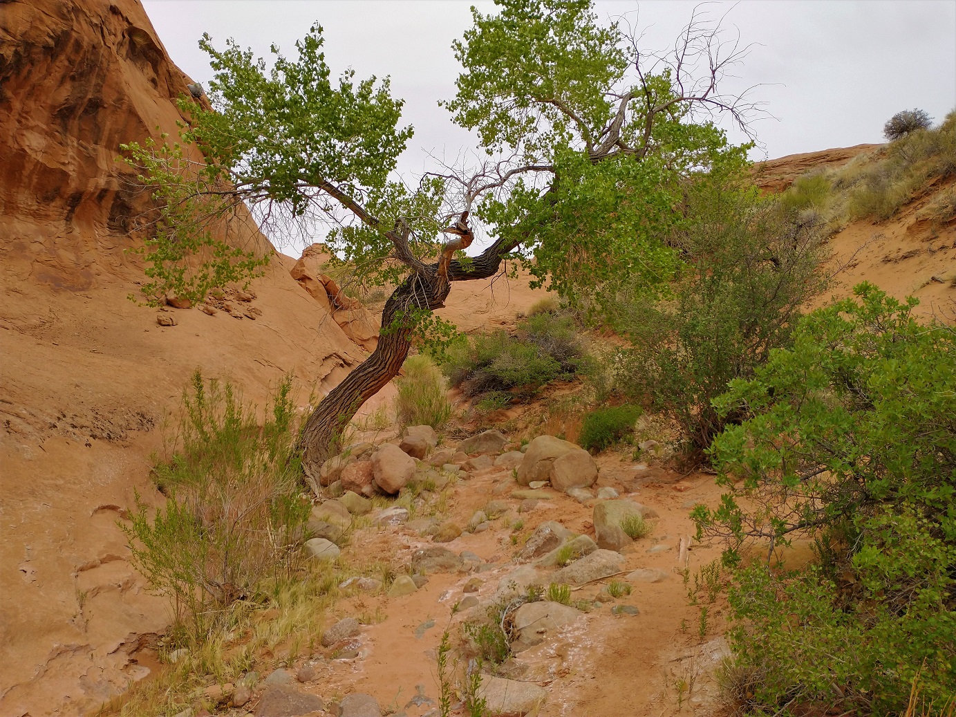
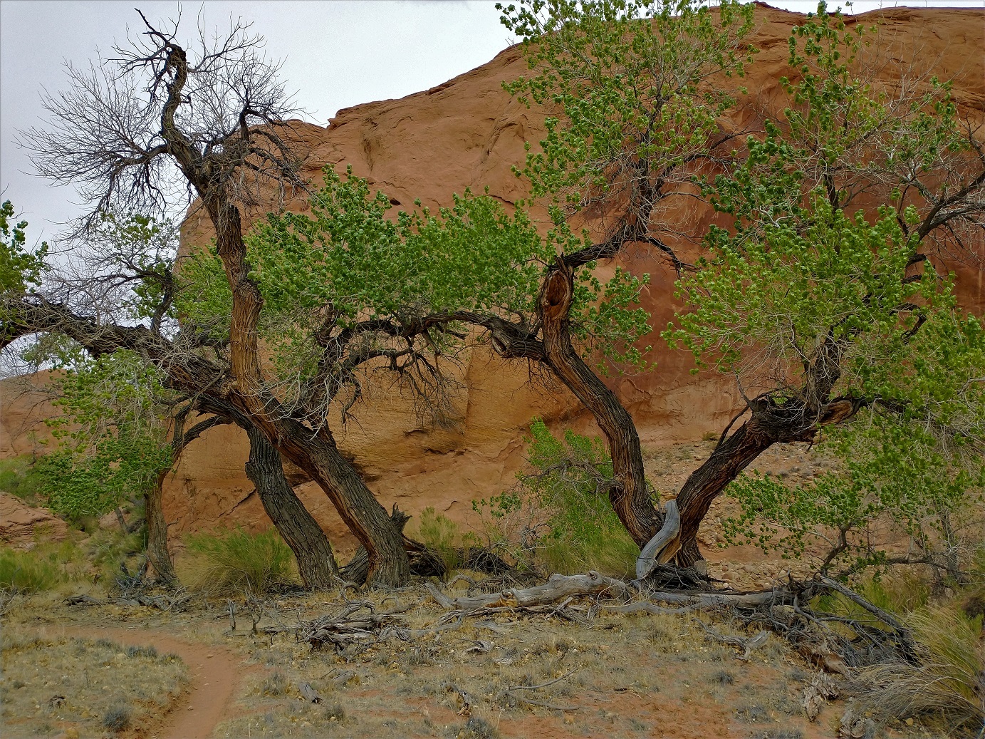
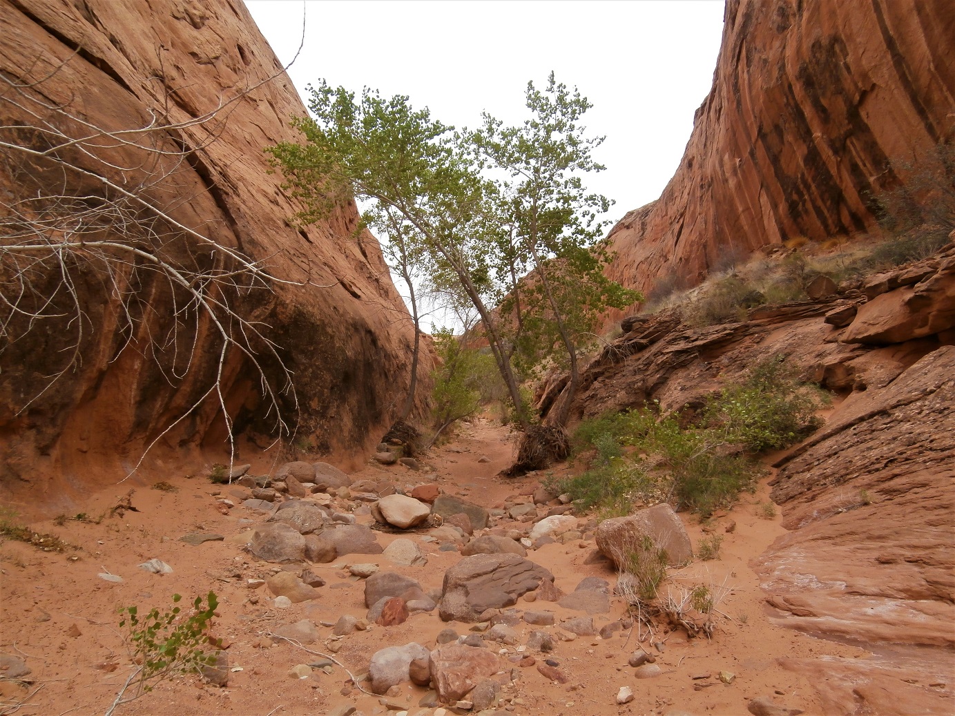
The trail to the arch alternately followed the dry stream bed, or led over the tops of high banks.
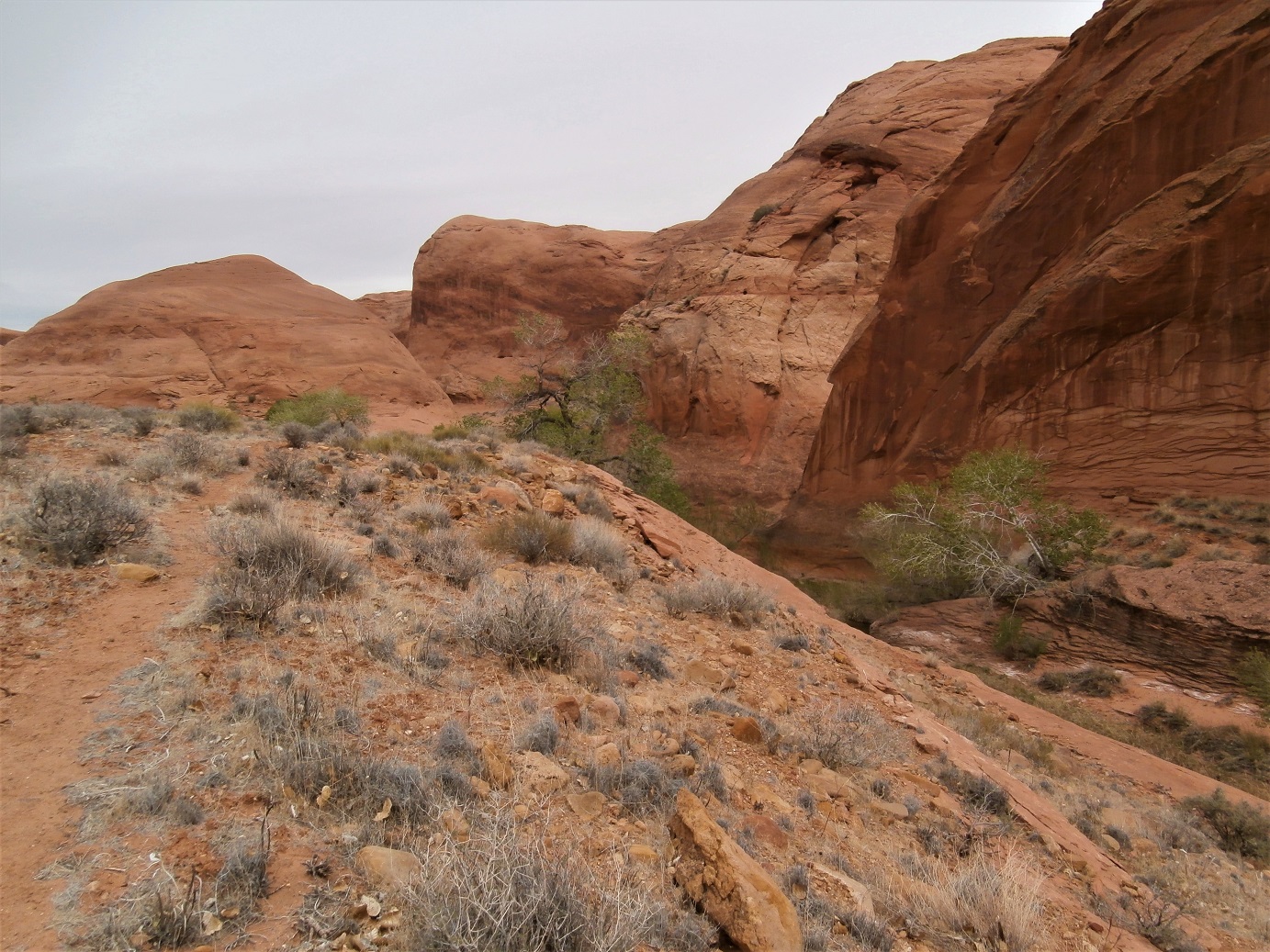
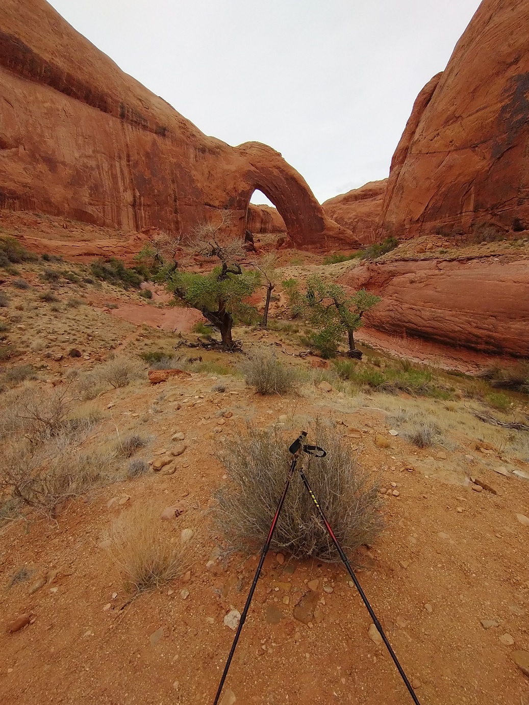
By the time I was in sight of the arch, a trickle of water was visible in the stream bed. To get to this point took several hours and I was cognizant of the time it would take me to retrace my route before nightfall on the shorter Spring days.