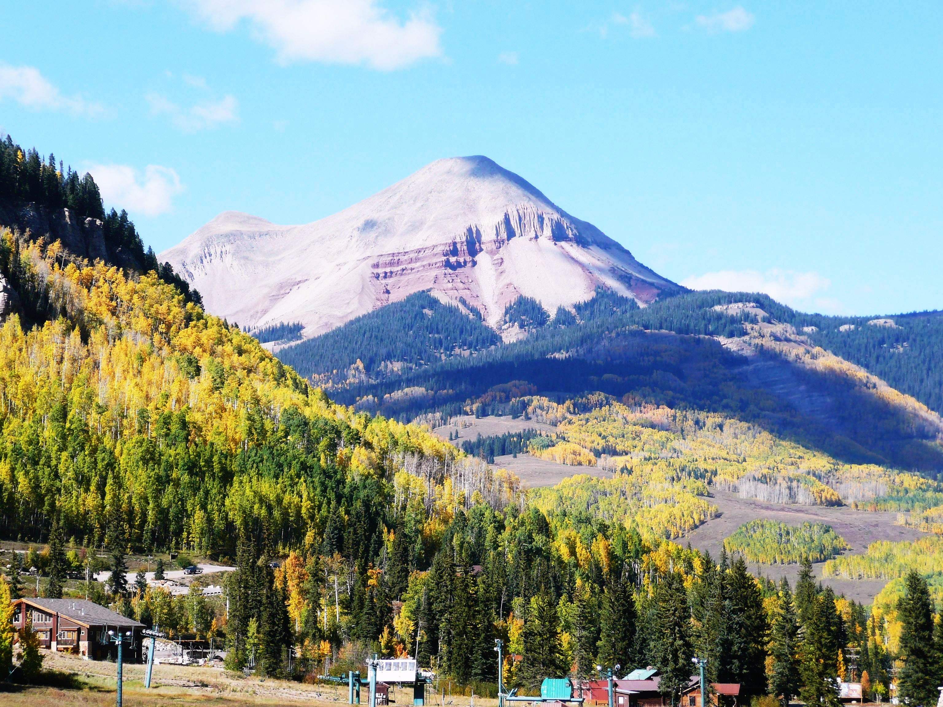
My brother, Terry, recently brought my attention back to a 25 mile stretch of highway, U.S. Route 550, from Silverton, CO, to Ouray, CO, that I traveled and photographed in the Fall of 2012. The name, Million Dollar Highway, refers to the rumored cost of $1,000,000 per mile to build it in the 1920’s when a dollar bought a lot more than it does now. https://thenatureseeker.com/million-dollar-highway/ [All photos ![]() Max Vollmer, Click on any image to enlarge]
Max Vollmer, Click on any image to enlarge]
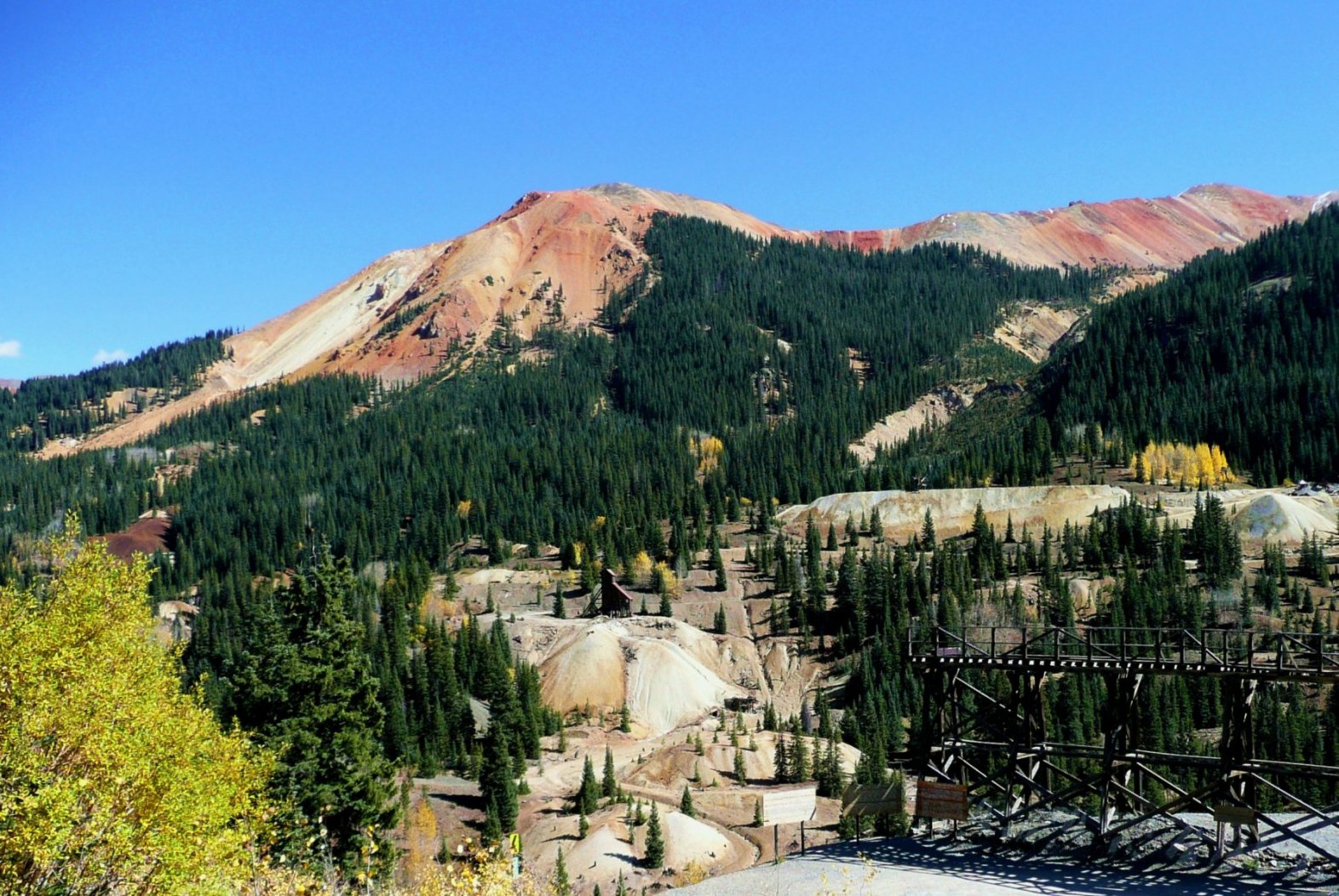
The route was originally surveyed and built as a wagon road in the 1880’s to carry incredibly rich silver ore from the Yankee Girl Mine located on the north slope of Red Mountain down to the smelter. While narrow gauge railroads were built to serve mines all over the Colorado Rockies in the late 19th century, defying gravity and the elements to extract gold and silver, the geography surrounding the Yankee Girl defied the best railroad surveyors and engineers of the day and no tracks were ever laid
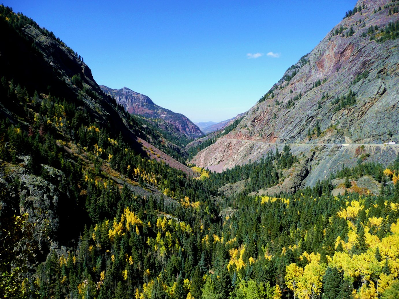
I drove the high altitude 25 mile stretch, 11,000 ft. at the highest, from Silverton to Ouray behind a Colorado Highway Patrol cruiser, keeping me from being overly aggressive. The speed limit was, and no doubt still is, 25 mph because of the steep grades and narrow pavement with no guardrails.